To gain further understanding on the context surrounding the site I looked into the different GIS maps.
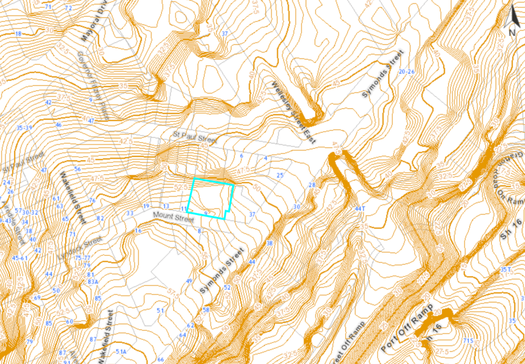
Contours 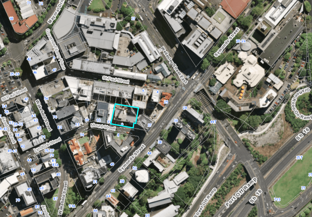
Aerial View 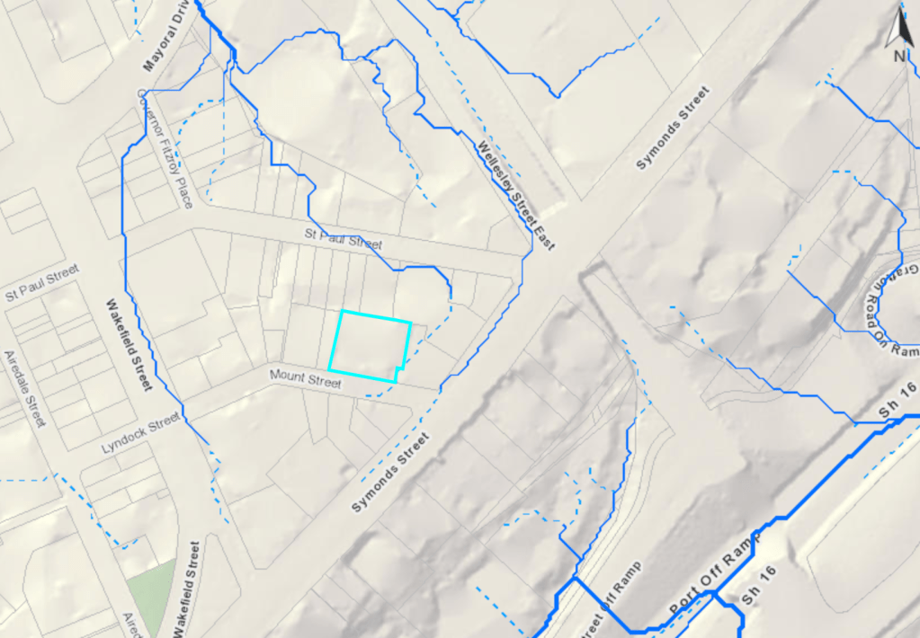
Overland Flow Paths 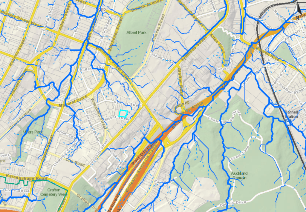
Wider Context of Overland flow paths
I also looked into the lighting conditions of the site, wind conditions, surrounding buildings and the local iwi to the site.
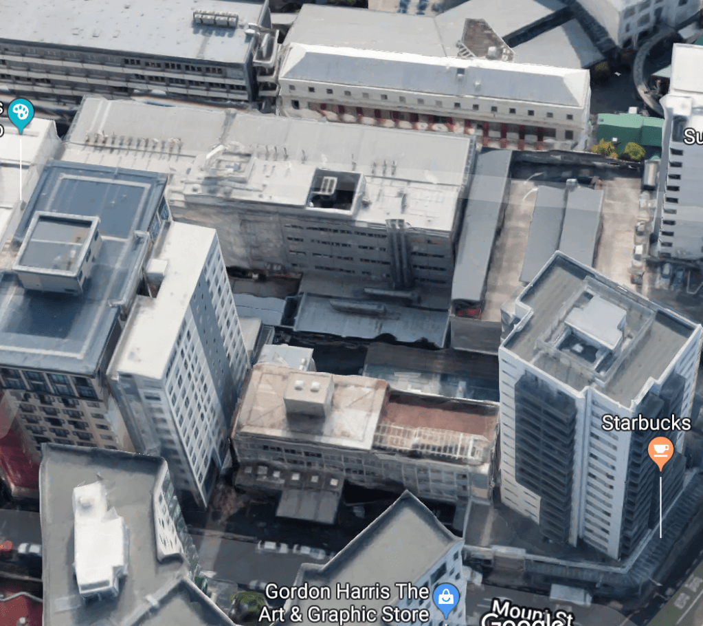
Surrounding buildings of site 
Wind zones 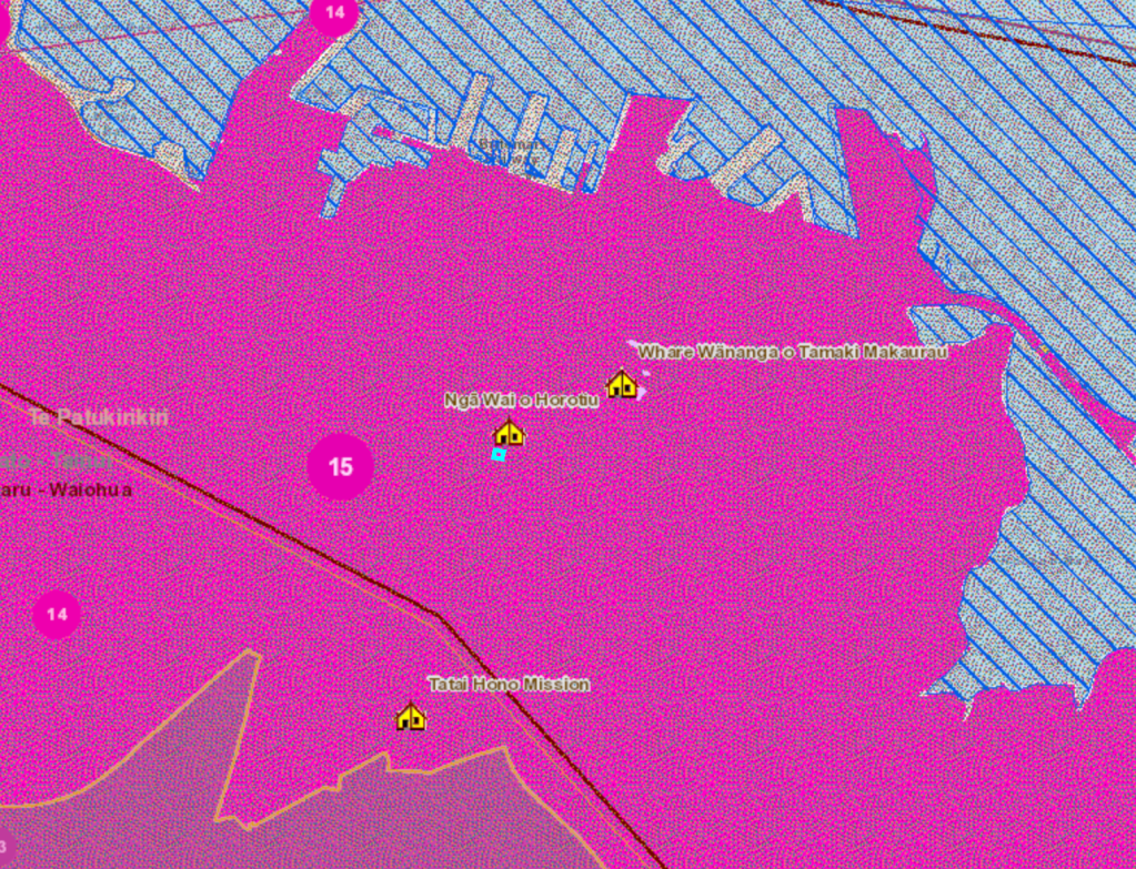
Mana Whenua areas of interest
The building is north facing so is able to get a bit of natural sunlight into the area despite being surrounded by tall buildings especially around mid day. The associated Iwi to the site is Te Patukirkiri and the local Marae is AUT’s Ngā Wai o Horotui.
The Maori influence is important to consider as it is necessary to contact the local Iwi in regards to any cultural aspects of the site and the effects the site has on the environment. The Iwi’s intentions are always to care for, protect and add to their spatial environments through the use of considered design and applying the Te Aranga Principles.
Site Map:

My site map explores the contours, water ways, wind and light conditions, local parks and surrounding buildings of my site.
